Ice and Climate
At IMAU, we have a large and vibrant group of researchers studying glaciers and ice sheets. Our aim is to better understand how changes in the atmosphere have an impact on ice and snow surfaces, and on glacier ice flow. In the past, ice sheets expanded and collapsed due to climate change, and the ice sheets themselves influenced the climate system. Due to current global warming, ice sheets and glaciers are melting. Our research aims to find out how, where, and how fast. We specialize in in-situ observations, remote sensing, polar climate modelling, and paleo ice-sheet and sea-level research.
Our research
Polar in-situ observations
Our Ice and Climate group has been operating Automatic Weather Stations (AWS) and autonomous devices on glaciers for decades. Our pioneering work has led to a robust AWS that operates autonomously on the glacier surface, offering the opportunity to measure meteorological variables in remote areas and in harsh weather conditions. These stations provide fundamental observations of the mass and energy balance of glaciers and ice sheets, which are used to calibrate and improve models of glacier and ice-sheet melt, and sea-level rise.
Polar climate modelling
An important part of our work is the development and operation of RACMO2, a regional climate model adapted for the use over ice sheets and glacier regions. RACMO2 is used to study the mass budget of the ice sheets of Greenland and Antarctica and several smaller ice caps. As a spin-off, we develop and operate IMAU-FDM, a firn model for detailed studies on firn processes, and in support of laser and radar altimetry. Finally, we are exploring ice-sheet and climate interaction using the global climate model CESM, the Community Earth System Model.
Remote sensing of land ice
A small but growing group of researchers in the Ice and Climate section at IMAU is studying glaciers and ice sheets using (satellite) remote sensing. We develop new methods in radar and optical remote sensing of snow and ice, in order to retrieve information on surface and subsurface processes like melt, refreezing, aquifer formation, and fracturing.
Paleo ice-sheet modelling
Past climate change offers clues for a better understanding of our climate system. Ice sheets have played a crucial role in a number of defining periods in the past millions of years. An important part of our research tries to explain and clarify what happened in the pliocene, the miocene, and the pleistocene. We try to disentangle ice-sheet extent and dynamics, atmospheric CO2 concentrations, and sea-level stands.
Sea-level change and impacts
The rising sea is one of the greatest current climate risks for society. Depending on future emissions, the world has to adapt to sea-level rise of tens of centimetres to several metres in the coming centuries. But the exact consequences vary from one location to another. In our group, we focus on past sea level reconstructions, regional sea-level projections, coupled Earth and ice dynamics, and high-end sea-level scenarios.
News and activities
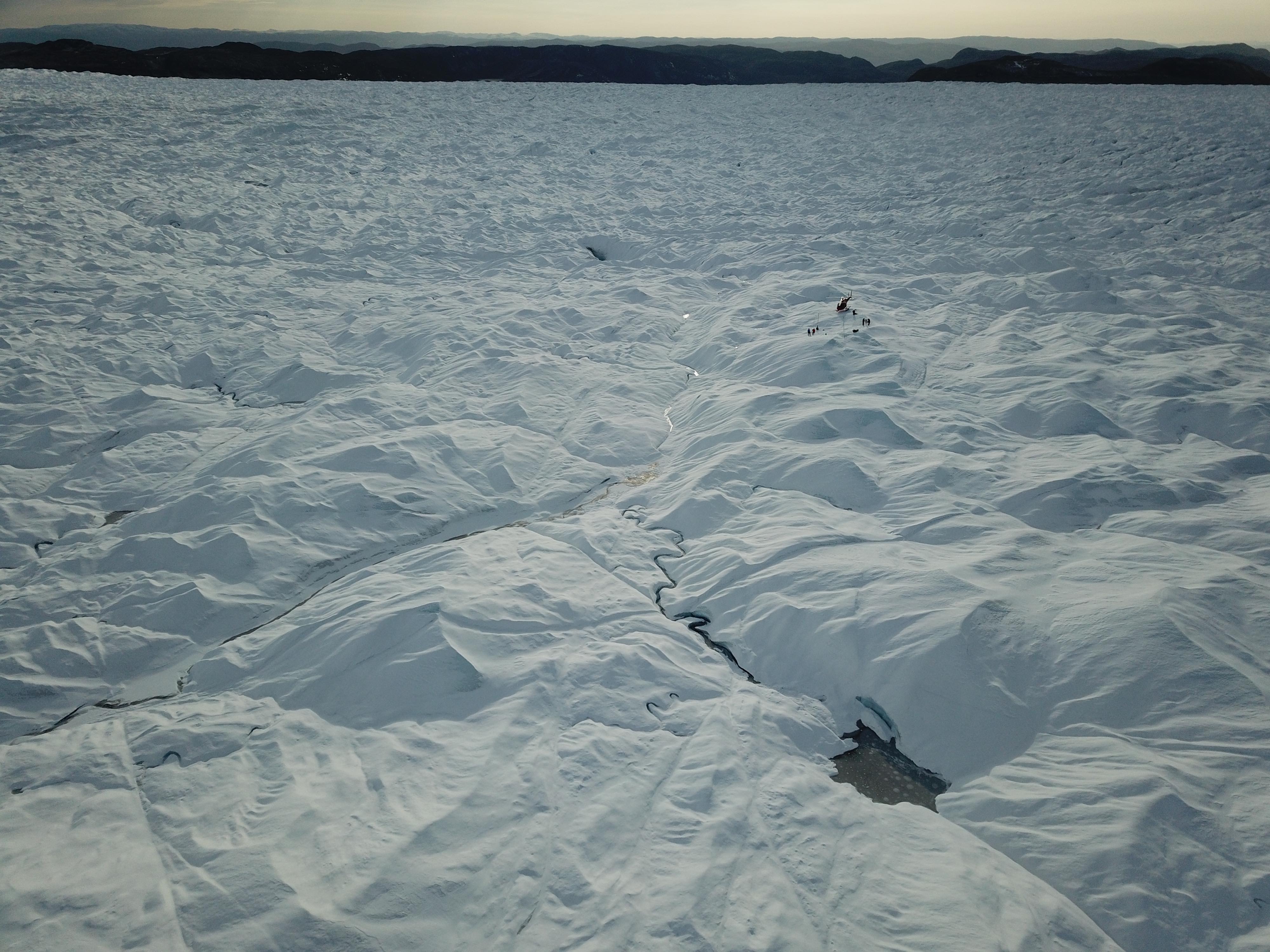
Research on Greenland's Ice Sheet 2024
See how our colleagues do their research on Greenland's Ice Sheet
How do we measure the mass loss of the Greenland Ice Sheet? Join climate scientist Paul Smeets on a fieldtrip to Greenland.
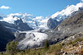
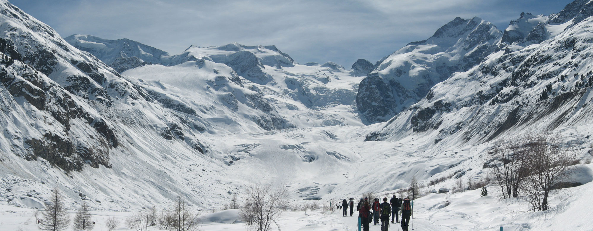
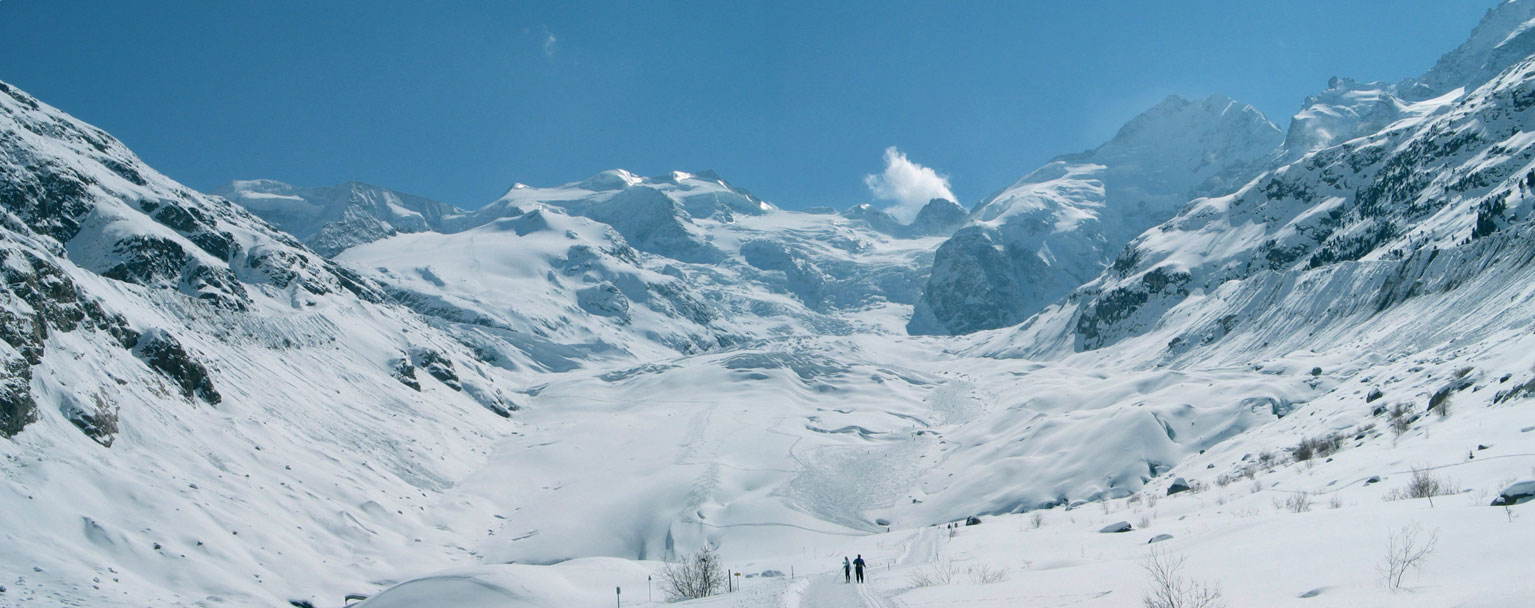
Karthaus Summer School
The Karthaus Summer School on Ice Sheets and Glaciers in the Climate System provides an introduction to the dynamics of glaciers and ice sheets, with a focus on ice-climate interactions. The course is aimed at PhD students that (will soon) work on a glaciology-related climate project. Each year, a few places are available for early-career scientists that have obtained their PhD.
Read more about the upcoming course and past editions.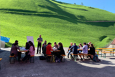
Prestigious Balzan Prize for climate researcher Hans Oerlemans
Professor Hans Oerlemans has been emeritus for three years now, but his work continues to be honored. On 12 September, it was announced that he and his Danish colleague Dorthe Dahl-Jensen are joint winners of one of the 2022 Balzan Prizes. The researchers will receive the certificate and the accompanying cash prize from Italian President Sergio Mattarella in November.
Read the official announcement or news on uu.nl.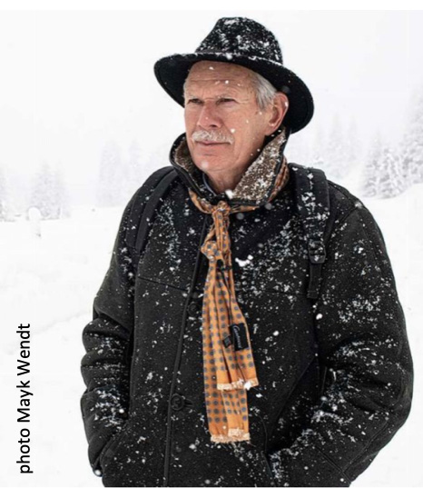
Witnessing the death of a glacier
Education in glaciology: Witnessing the death of a glacier
A blog about Hochjochferner, a glacier in the Italian Alps, and each year visited during the Karthaus summer school on Glaciers in the Climate system. Link to the EGU Cryosphere Division Blog
Past projects